True Digitized Reality
See your site like never before. With incredibly accurate interactive 3D models complete with all the data you need at your fingertips. Accessible from anywhere.
 Download Now
See your site like never before. With incredibly accurate interactive 3D models complete with all the data you need at your fingertips. Accessible from anywhere.
Track, monitor, and improve operations including development progress, roads, stockpiles, planting or clearing progress, inspections, infrastructure and environmental impact.
See how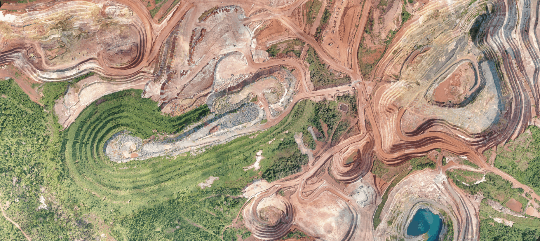
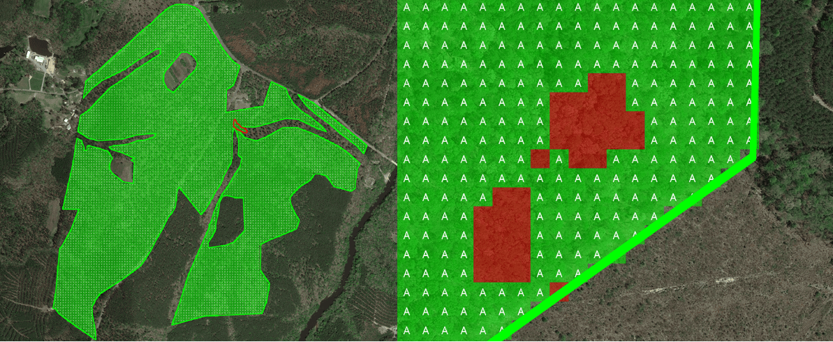
Use satellite or drone imagery to quickly create detailed maps of natural communities of interest including plant health, and particular species of animals or plants. Conduct regular inspections to ensure populations are thriving, and identify warning signs early for strategic deployment of resources.
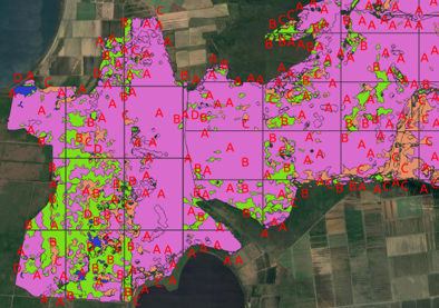
See howUsing Sensors, automation and AI allows for the quick and accurate collection of data on areas of interest. Monitor that data easily from anywhere with detailed models, then strategically deploy resources where needed as needed as soon as trouble spots are identified.
See how